Alhambra
Granada, Spanien
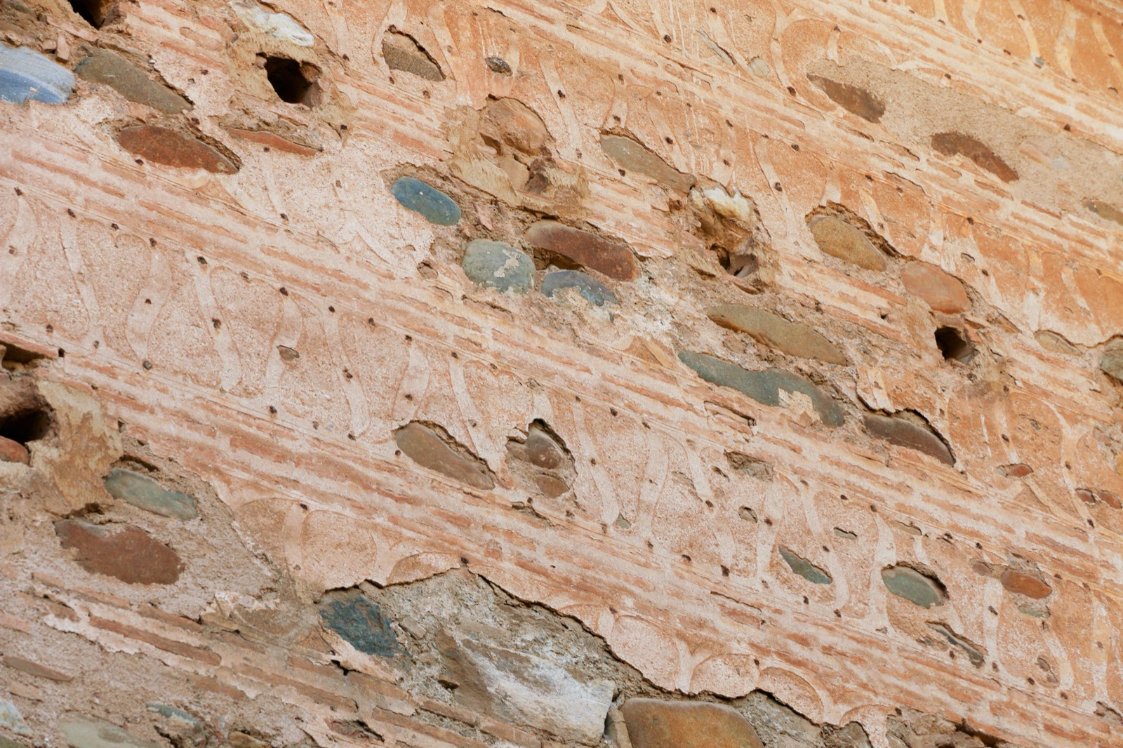
Foto: Øyvind Holmstad / Wikimedia Commons (CC BY-SA 4.0)
Festungs- und Palastanlage der Nasriden-Dynastie in Granada, deren Wehrmauern und Türme großteils in tapia (Stampflehm) errichtet wurden. Der Name al-Hamra (die Rote) verweist auf die eisenoxidhaltige rote Erde der Mauern.
Akteurs-Typ
Bauwerk
Quellen
- • Koordinate: Wikipedia (en) Geokoordinaten der Alhambra: 37°10′39″N 3°35′24″W = 37.1775 / -3.5900, abgeleitet aus dem offiziellen Standort Granada.
- • https://en.wikipedia.org/wiki/Alhambra
- • https://blog.msc-sahc.org/the-alhambra-and-the-torre-de-la-vela/
- • https://www.iaph.es/revistaph/index.php/revistaph/article/download/2527/2527
- • http://ferminfont.blogspot.com/2013/04/tapia-calicostrada.html
- • https://www.cambridge.org/core/journals/antiquity/article/alhamat-analysing-materiality-of-the-alhambra-to-elucidate-the-nasrid-dynastys-power-in-the-emirate-of-granada/393BE0A44E585B184601EAD9707B808F